
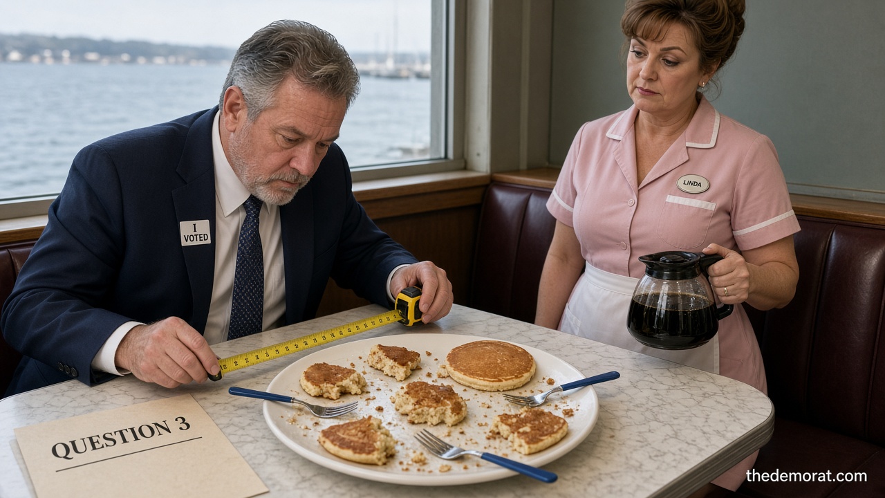
Down at the diner, we've got a saying about a man who already ate seven of the eight pancakes on the plate and then asks if anybody's going to finish that last one. We call him a Maryland Democrat.
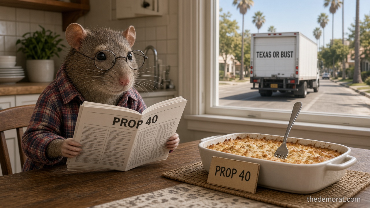
Here's the plate. Maryland has eight seats in the U.S. House. Democrats hold seven. The eighth belongs to Republican Rep. Andy Harris, whose district covers the Eastern Shore and some of Baltimore, Carroll and Harford counties. One seat. Out of eight. And next Tuesday, voters will decide on Question 3, which would clear the way for the Democratic-run legislature to go back for that last pancake.
Now, Question 3 doesn't redraw anything by itself, and nothing changes this year. What it does is take the state constitution's requirement that congressional districts be compact and follow natural boundaries, like the Chesapeake Bay, and say those rules apply only to state legislative maps. Congressional maps would get a free pass. Lawmakers could then draw a new map for 2028 that, per the AP, would favor Democrats in all eight districts.
You have to admire the ambition. Most folks look at the Chesapeake Bay and see crabs. Annapolis looks at it and sees an obstacle.
The legislature met in special session in August to put the question on the ballot. It passed the House 96-38 and the Senate 32-13. Republican groups sued over the wording, and Maryland's Supreme Court let it stay on the ballot, but only after ordering the language rewritten to be clearer. When the state's highest court has to tell you your question is too confusing for the voters, that's like the waitress sending your order back to you for a rewrite.
Here's the history, and this is where the slow burn comes in. Democrats tried to draw a friendlier map back in 2021. A state judge threw it out in 2022. So this time, instead of drawing a better map, they're asking voters to remove the rule the last map broke. That's not fixing your fence. That's voting to repeal the neighbor's property line.
Gov. Wes Moore is selling it as a fight against President Trump's "illegal power grab." Republican critics point out the new map couldn't take effect until 2028, when Trump is on his way out. So the plan to stop Trump would kick in about the time the moving trucks show up.
After the court ruling, Moore said "the final decision on how we draw our maps belongs in the hands of Marylanders, not politicians." And the Marylanders, it turns out, have an opinion. A University of Maryland, Baltimore County poll this month found 53% of likely voters planned to vote against it, including 42% of Democrats.
Forty-two percent of his own party. That's not a split vote. That's half the regulars at the counter putting their forks down at the same time.
So that's where things stand. Seven pancakes eaten, one left on the plate, and a governor promising it's all about fairness to whoever's still hungry. Folks on the Eastern Shore would just like to keep their breakfast.
This article is satire. The Demorat is a parody news site; real facts are drawn from the linked sources, and jokes, invented scenes, and fictional characters are not real.
The real story that inspired this